Lot 88A
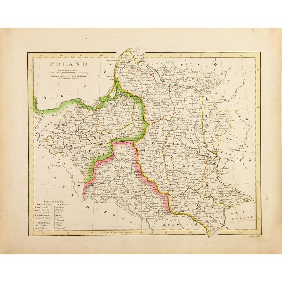
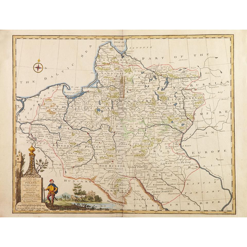
Three Engraved and Hand Coloured Maps of Poland and Surrounding Region, 18th and early 19th centuries
Lot 88A Details
Three Engraved and Hand Coloured Maps of Poland and Surrounding Region, 18th and early 19th centuries
1) Emanuel Bowen, A New and Accurate Map of Poland and Lituania, 1747
2) Estate de la Courounne de Pologne, 1769
3) R.Wilkinson, Poland, 1814
largest 14.4" x 19" — 36.5 x 48.3 cm.
Estimate $200-$300