Lot 102
British School
Lot 102 Details
British School
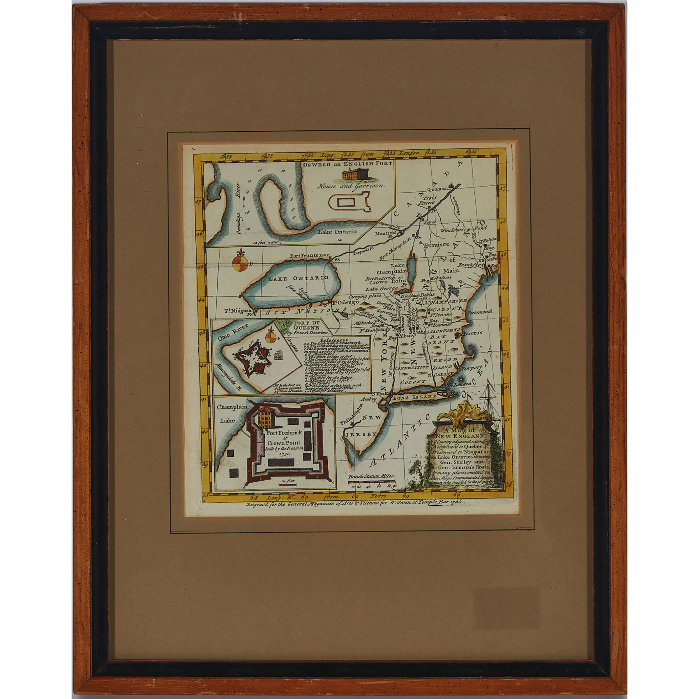
A MAP OF NEW ENGLAND & YE COUNTRY ADJACENT, EXTENDING NORTHWARD TO QUEBEC & WESTWARD TO NIAGARA, ON LAKE ONTARIO, SHOWING GEN: SHIRLEY AND GEN: JOHNSON'S ROUTS, & MANY PLACES OMITTED IN OTHER MAPS; COMMUNICATED BY A GENTLEMAN WHO RESIDED IN THESE PARTS, 1755
hand coloured engraved map published in the General Magazine of Arts & Sciences, framed
sight 8.5" x 7.5" — 21.6 x 19.1 cm.; 15" x 12" — 38.1 x 30.5 cm.
Estimate $100-$150
Note:
The current lot is a rare early French & Indian War map depicting the area from Quebec to Delaware Bay, and west to Niagara, showing towns, forts, rivers, portages, and the routes of the British marches during the conflict and illustrates the British campaigns against the French forts at Niagara and Crown Point.