Lot 193
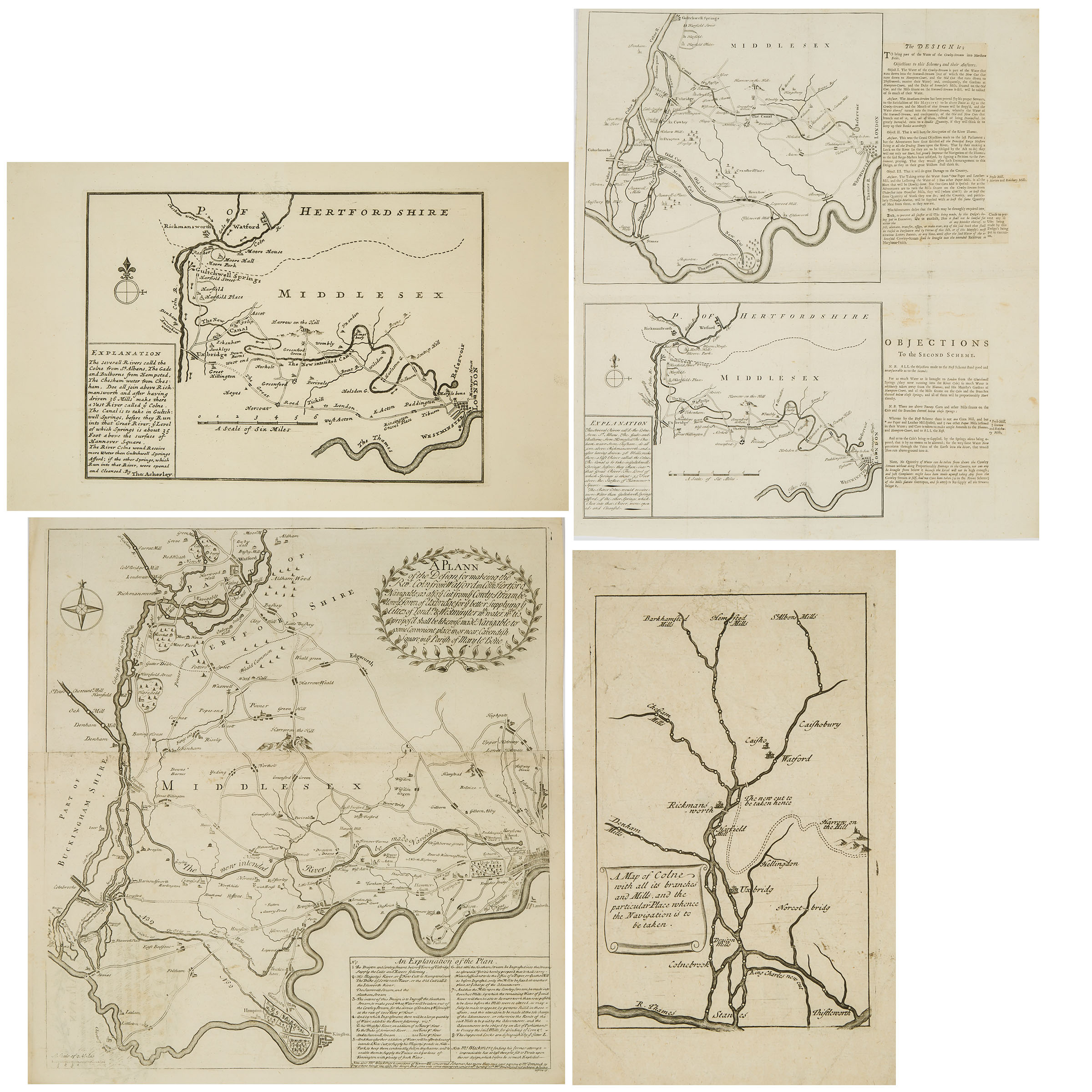
Four Maps Relating to Various Proposals for Navigable Canals into London, c.1720

Lot 193 Details
Four Maps Relating to Various Proposals for Navigable Canals into London, c.1720
Sir Edward Forde's Proposal
'A Map of the Colne with all its branches and Mills, and the particular Place whence the Navigation is to be taken', a 1720 reprint of the 1641 original.
Blackmore's Proposals, c.1720
Two untitled maps on one sheet:
the first proposed Canal from the RIver Colne to Mary le bon, the second from Gultchwell Springs to a Reservoir north of Mary le bon [sic]
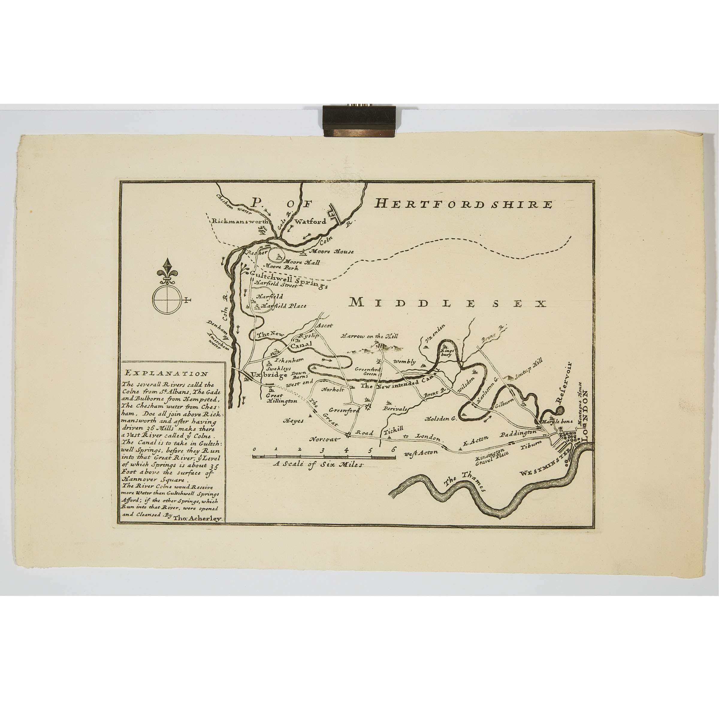
Thomas Acherley's Proposal, c1720
Untitled map of a proposed canal from Gultchwell Springs to Hanover Square
Thomas Acherley's 2nd Proposal, c.1723
A Plann of the Design for makeing teh Rivr. Coln from Watford in Com Hertford Navigable; as also; ye Cut from ye Cowly-Streem below ye Town of Uxbridge; for ye Supplying ye Cities of London & Westminster with Water...made Navigable to some Convenient place in, or near, Cavendish Square, in ye Parish of Mary le Bone
largest sheet 22 x 20 in — 55.9 x 50.8 cm
Estimate $400-$600
Additional Images


